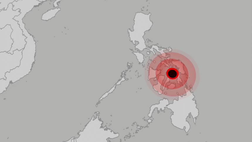
A strong earthquake with a preliminary magnitude of 6.9 struck Central Philippines around 10:00 p.m. local time, according to the U.S. Geological Survey (USGS).
The quake hit at a shallow depth of about 10 kilometers under the sea, increasing the likelihood of intense shaking on land.
The epicenter was located offshore, west of the city of Palompon, raising fears not only of severe ground impacts but also of a potential tsunami.
The region is also a popular tourist destination, with Bohol known for the Chocolate Hills and its white sandy beaches.
Local authorities and seismological centers are monitoring the situation, while residents in coastal areas have been warned of possible high waves and structural damage caused by the tremor.
So far, there are no immediate reports of casualties or material damage, but the situation remains developing.
The Philippines lies along the seismically active boundaries of the Philippine Sea Plate, which has produced some of the world’s deadliest earthquakes and tsunamis.
Among them: the 1976 Moro Gulf earthquake and tsunami, which killed more than 5,000 people, and the 1990 Luzon earthquake, which left 2,400 dead.