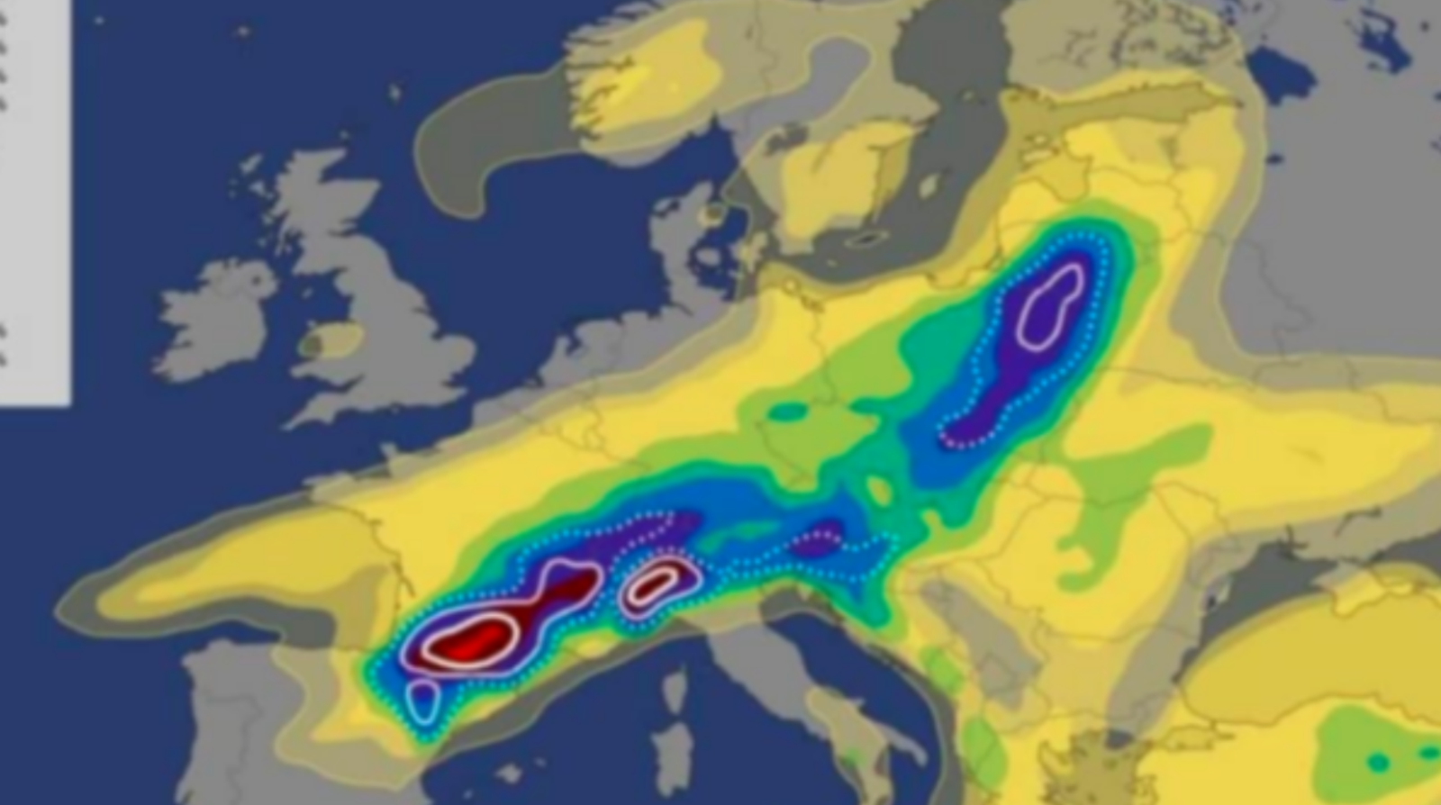
Very powerful unstable air masses originating from the Atlantic Ocean are continuing to penetrate Europe, but having no chance of penetrating the Balkans due to the powerful African Anticyclone.
Almost every day in France, Germany, Belgium, etc. there are intense storms, in places very powerful with massive atmospheric discharges and large hail. After a day or two of calm, new storms follow that come from the Atlantic and intensify in their contact with very hot African air.
European institutes for monitoring summer storms have warned of new intense storms on Friday and locally during the weekend.
The places where intense storms are expected on Friday are the southwest and southeast of France, locally many other areas in France, then it is expected to include Switzerland, the south of Germany, the north of Italy and further parts of Austria, the Czech Republic, Poland, etc.
A very powerful system with low atmospheric pressure or cyclonic detachment will cause very intense storms in the places we mentioned above.
Normally the storms will be large in size but will not cover all areas.
The air pressure will also decrease in the Balkans during the weekend, but it is unlikely for any coolness or heavy precipitation because the very strong sub-tropical air originating from northern Africa will not allow the creation of large cooling storms, however storms are expected isolated with hail mainly in many hilly-mountainous areas and very little in other areas.
So, after the intense rain of these days, new storms with torrential downpours are forecast in Europe on Friday and for the weekend.
We will try to be more active in following the eventual synoptic situation in Europe and the Balkans./MeteoBalkan


