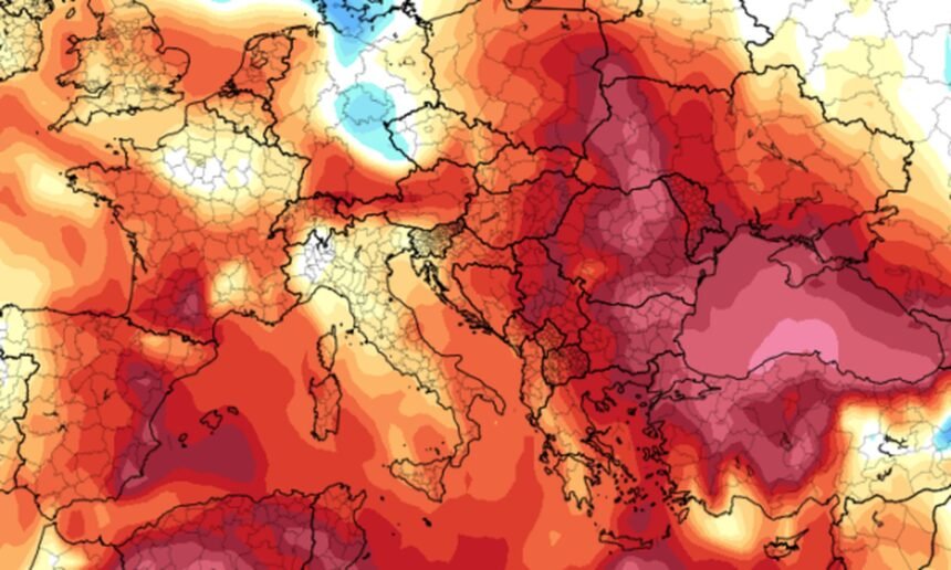
Throughout this week, Kosovo will remain under the influence of unstable atmospheric conditions, due to ongoing cyclones coming from the Atlantic Ocean. This instability will also be accompanied by the intrusion of warmer air masses, which will lead to a noticeable rise in temperatures in the coming days.
Under these conditions, Monday was characterized by frequent cloud cover and short sunny intervals, while localized snowfall occurred in some areas.
From Tuesday, warmer air masses are expected to move in, with weather marked by clouds and sunny intervals. In some regions—mainly in the western part of the country—isolated precipitation cannot be ruled out.
On Wednesday, a significant increase in cloudiness is expected. In the late afternoon and evening hours, local rain showers are forecast, while snowfall is expected in higher mountainous areas. The Pristina region is expected to be the most exposed to strong winds, with gusts potentially reaching up to 70 km/h.
During this period, the intrusion of Saharan dust particles is also expected. As a result, rainfall may be mixed with mud, while mountainous areas could experience the so-called “red snow.”
On Thursday, the weather will remain mostly cloudy, with occasional local rain showers. In some areas, these may occur in the form of downpours, especially during the early hours of the day. Heavy snowfall is expected in high-altitude mountainous zones.
On Friday, conditions will stay mostly cloudy, with light and isolated rain.
On Saturday, the weather is expected to feature sunny intervals and clouds, with a chance of light local precipitation.
On Sunday, the arrival of a low-pressure system is forecast to bring increased cloud cover, intensified rainfall, and a drop in temperatures. Snowfall is expected in mountainous areas.
Minimum temperatures will range from -3°C to 6°C, while maximum temperatures will range between 6°C and 15°C.