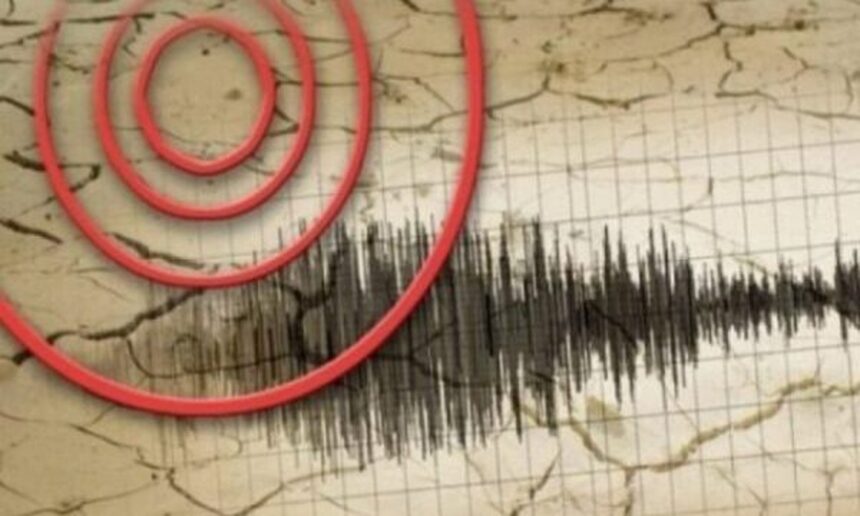
A 4.3-magnitude earthquake struck the Gerash region in southern Iran on Tuesday, according to the U.S. Geological Survey (USGS). The quake was registered at a shallow depth of about 10 kilometers, which is typical for crustal earthquakes in the area.
This seismic event was confirmed by multiple international news outlets reporting the USGS data.
🧭 Location: Gerash region, southern Iran
📏 Magnitude: 4.3
📉 Depth: ~10 km
📍 Agency: U.S. Geological Survey (USGS)
So far, no reports of injuries or significant damage have been issued by Iranian authorities.
This part of Iran lies in a seismically active zone tied to regional tectonic plate interactions, where moderate tremors are relatively common and usually pose limited danger at these magnitudes.