
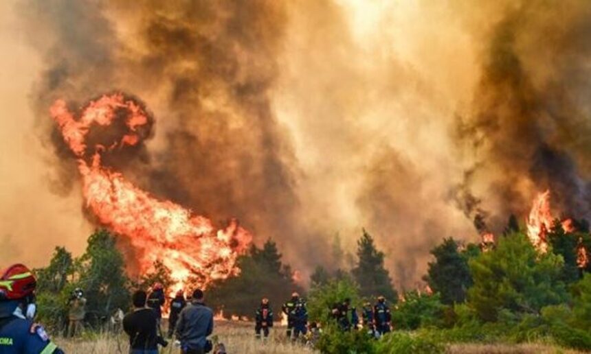
In the shadow of yesterday’s tragedy, in which two firefighting pilots lost their lives following a collision between two firefighting helicopters, the massive wildfire in Western Attica remains out of control for a fourth consecutive day.
Firefighters are battling the blaze on two major fronts.
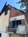
The first is in the Agia Paraskevi area, where emergency crews are operating in Kryo Pigadi. The fire has caused extensive damage to homes, while conditions remain especially severe in the Loupa area near Vilia.
The second front is advancing toward Megara, where the wildfire is spreading in the direction of the Kandili shooting range and the Agia Skepi settlement.
The Greek Fire Service and Hellenic Police have launched a large-scale evacuation operation in the Kandili area as flames move dangerously close to Agia Skepi.
Residents of Kandili, Agia Skepi, and Bosika have been instructed to evacuate immediately toward Nea Peramos. Police units are patrolling with sirens and loudspeakers, urging people to leave their homes for their safety.
Meanwhile, bulldozers and heavy machinery from regional authorities, Civil Protection, and local municipalities—working alongside firefighters—are creating firebreaks and access routes to slow the spread of the flames.
According to satellite analysis by the Copernicus Emergency Management Service (EMS), processed by METEO and the National Observatory of Athens, approximately 111,000 hectares had burned across Attica and Boeotia by midday Sunday.
Of that total:
- 30,900 hectares were destroyed by the Boeotia wildfire.
- 80,800 hectares have burned in the Porto Germeno wildfire in Attica, which remains active.
The figures were derived from high-resolution Sentinel-2 satellite imagery captured on August 2, highlighting the enormous scale of the environmental disaster.