

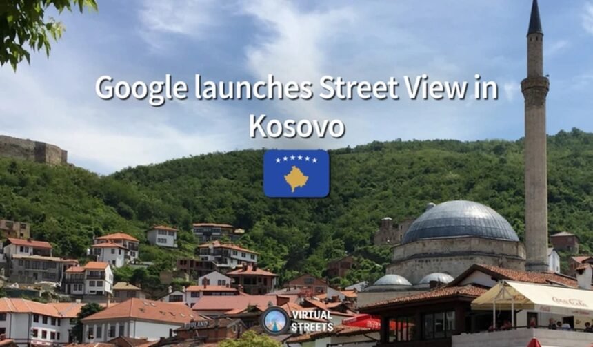
Kosovo has officially become the newest territory in the Balkans to be added to Google Street View, bringing 360-degree panoramic imagery of its streets, cities, and tourist destinations to users worldwide.
Following a nearly two-year mapping process, Google has published imagery captured across Kosovo between July 2025 and May 2026, covering the vast majority of the country’s territory.
According to the platform Virtual Streets, Kosovo’s integration into Street View had been delayed due to complex geopolitical circumstances and issues related to the country’s international status.
The newly released imagery includes major cities such as Pristina, Prizren, Peja, Gjakova, Mitrovica, Gjilan, and Ferizaj, along with numerous other urban and rural areas.
Google Maps users can now virtually explore scenic mountain roads and popular tourist destinations, including the Rugova Gorge, Sharri National Park, the Accursed Mountains (Bjeshkët e Nemuna), as well as areas near Kosovo’s borders with Albania, Montenegro, and North Macedonia.
Street View data collection in Pristina began in August 2025 and continued throughout the spring of 2026. The imagery also covers locations such as Podujeva, Fushë Kosova, Novobërda, Kaçanik, Shtime, Hani i Elezit, Leposavić, Leshak, Vushtrri, and Skenderaj.
According to reports, Google used its fourth-generation Street View cameras, as well as portable camera systems in certain locations, allowing image collection to continue even in challenging weather conditions, including snowfall during October 2025.
The launch of Google Street View is considered a significant milestone for Kosovo’s digital visibility, particularly as the country experiences growing tourism and local businesses seek a stronger online presence.
Meanwhile, reports indicate that Apple has also obtained permission to map parts of Kosovo, although its imagery has not yet been released to the public.